Flooding around the Gogebic Range
Written by Jesse Baroka on April 13, 2023
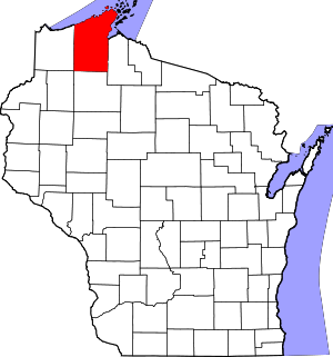
IRONWOOD / HURLEY – Rapid snow melt and runoff, causing flooding issues around the area. In Iron County many local municipality roadways are closed due to washouts and roadways being compromised. US Hwy 2 between Valley and Lake Head Road was down to one lane of traffic yesterday with flaggers in the area due to flooding. The entire highway has since reopened. In Ironwood Norrie Park Road from Lime St to Riverside Rd is closed due to flooding. This applies to vehicles, bicycles, and ATV’s. Flooding is being reported in the Porcupine Mountains State Park, Bessemer, Wakefield, Thomaston, near Copper Peak, in North Ironwood near the airport, around Black River Harbor, Chaney Lake and Little Girls Point. A Flood Warning is in effect for the Western Half of Gogebic County, Northern Iron County and the Bayfield Peninsula. Flood Watch is in effect for Eastern Gogebic County and all of Ontonagon County and a Flood Advisory is in effect for southern Iron County, and all of Ashland County. Drivers are asked not to attempt to drive through flooded portions of road.